Anchor Sentry monitors the ship's position at anchor and warns the skipper if the anchor is dragging and thus the ship leaves the setup perimeter.
Features
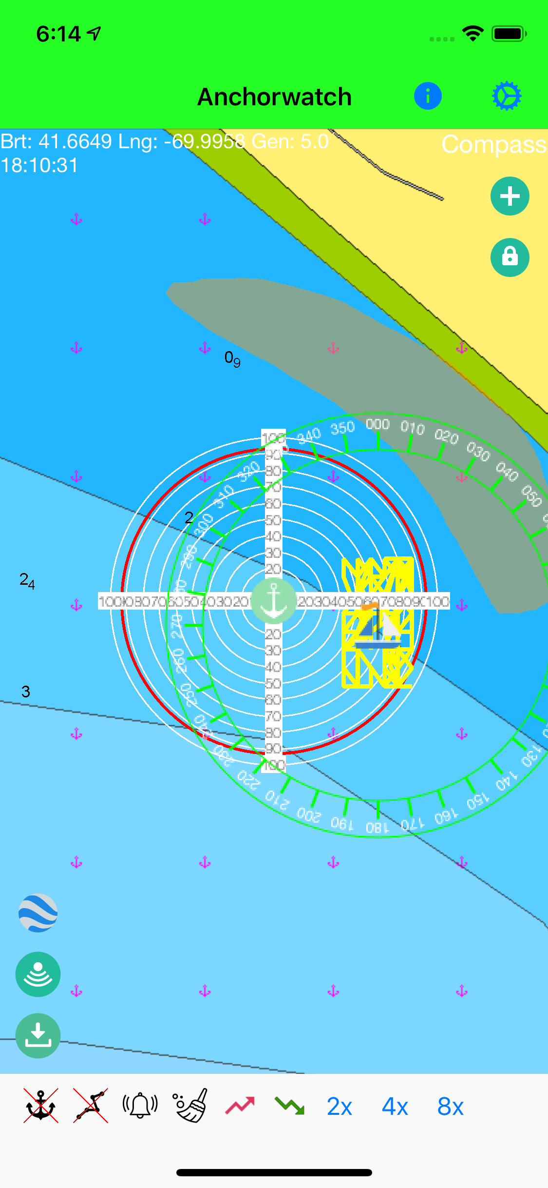
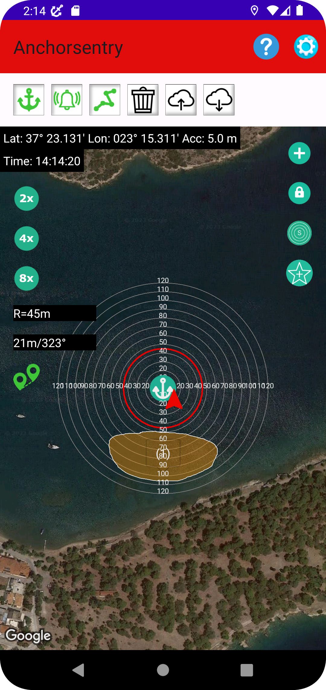
- Show current position on GoogleMaps map or on a Navionics chart[1]
- Distance circles to help finding a good anchor position
- Drop anchor by tapping on map or by position or by bearing and distance
- Can be used for anchoring with shore lines by watching the heading rather than the position[2]
- Option to set up prohibited zones which will trigger an alert when entered. These can be used indepent of the anchor state
- Runs in the background even while other apps are used
- Unique sync functionality which allows to pair two or more devices together to see the ships position even while out to shore for dinner
- Proximity alert at anchor between ships that both use Anchor Sentry
- Optional compass overlay to help finding the bearing to the anchor[2]
- Several setup options to customize your app
- You can provide a password to friends and family to see your latest position on this website
- Barographfunction for devices with appropriate hardware (most newer iPhones and iPads)[2]
- Display of actual depth from echosounder (NMEA server required to provide the data)[2]
[1] To use the Navionics charts you need an active subscription with Navionics.
[2] Only available on iPhone® and iPad® at the moment.
Please note that the Android version does not currently support all described features.


Apple, the Apple logo, iPhone, and iPad are trademarks of Apple Inc., registered in the U.S. and other countries and regions. App Store is a service mark of Apple Inc.
Google Play and the Google Play logo are trademarks of Google LLC.
Google Play und das Google Play-Logo sind Marken von Google LLC.


